East Coast Weather: Rain and Wind Set to Replace Fall Highs
AccuWeather forecasts a shift to colder temperatures and wet conditions later this week, though widespread snow remains unlikely.
By Justin Barnes ·
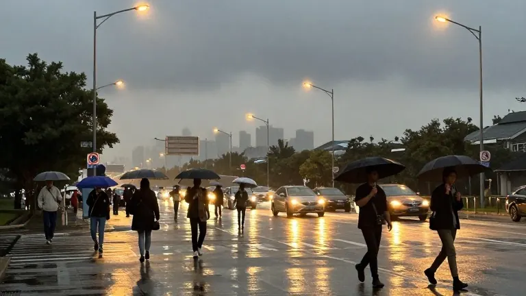
Commuters in the Tri-State area should prepare for wet roads and gusty winds later this week. A developing coastal storm system will bring rain, minor coastal flooding, and a sharp drop in temperatures. The weather service notes that while some snow is possible in high elevations, widespread snowfall is not expected.
The region has enjoyed a stretch of pleasant autumn weather. Meteorologists at AccuWeather indicate that this mild period will continue through Wednesday. Tuesday will feature a mix of sunshine and passing high clouds, with afternoon temperatures reaching the lower 60s. Wind gusts of 20 to 25 mph will keep the day breezy. Wednesday will be calmer but equally mild, offering pleasant conditions for the Veterans Day parade.
Uncertainty begins to build on Thursday as multiple areas of low pressure develop along the East Coast. Forecasters are still determining which low pressure system will become dominant and how close it will track to the region. This variable creates questions about total rainfall and exact timing. Rain is likely to start on Thursday and continue into Friday. The heaviest precipitation may occur during Thursday afternoon and night. Conditions are expected to improve gradually into the weekend, though slower travel is likely from Thursday into early Saturday due to wet roads.
Snow enthusiasts should note that the cold air is not strong enough for a major event. A few flakes could mix in well north and west of New York City. Higher elevations in the Catskills and Poconos might see some snow. However, the primary impacts will be rain and wind.
Coastal areas face specific risks from the storm. Gusty onshore winds may cause minor coastal flooding. Once the storm passes, much colder air will settle into the Northeast. This will bring a noticeably colder feel to the weekend. Saturday temperatures are expected to hover in the 40s, with brisk winds making it feel like the upper 30s. Sunday will remain brisk and chilly with a high of 50. By Monday, skies will feature a mix of clouds and sunshine as the region recovers, with a high of 53.
The forecast for the coming days breaks down as follows. Tuesday brings a high of 62. Wednesday will see a high of 61. Thursday will reach 58 with afternoon rain. Friday will be chilly with a high of 48 and possible rain. Saturday will have a high of 47 with a chilly breeze and possible showers. Sunday will be brisk with a high of 50. Monday will close the week with a high of 53.