Vermont Weather: Mid-Week Warmup Could Shatter Records
Temperatures are expected to climb into the 70s on Wednesday, potentially setting new highs, before rain returns through the weekend.
By Yuki Melnyk ·
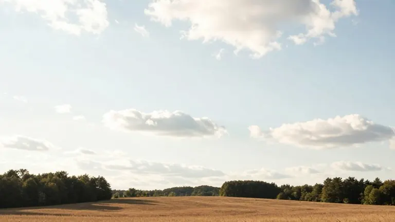
A southerly air mass is pushing temperatures across Vermont well above seasonal norms this week. The warming trend will peak on Wednesday, when meteorologists say several locations may set record highs.
On Monday morning, conditions varied by region. The Champlain Valley and the North Country started the day in the 50s, aided by extra cloud cover and a southerly breeze. In contrast, southern Vermont and the Upper Valley saw clear skies and calm winds, which allowed temperatures to drop into the 30s.
By Monday afternoon, sun breaks appeared across the state. Highs climbed into the low and mid-60s in most areas. Southern Vermont residents may have seen temperatures reach the upper 60s or even the low 70s. A spot shower was possible near the Canadian border in the Northeast Kingdom and northern New Hampshire, but rain was expected to remain light.
Tuesday will bring similar conditions, though northern areas may be a degree or two cooler. Light, steady showers are likely in the northern afternoon. Precipitation totals for those areas are expected to range from a trace to about one-tenth of an inch. Forecasters noted that commuters heading to the polls may need rain gear.
The warmest temperatures are scheduled for Wednesday. Record highs across the region currently sit in the low to mid-70s. Forecasters expect actual temperatures to reach the upper 60s and low 70s. They plan to monitor the records closely during the Wednesday afternoon peak.
After the mid-week high, temperatures will decline slightly each day through the weekend. Rain chances increase significantly, with precipitation likely from Thursday afternoon into Friday morning. Rainfall from Friday through the weekend remains uncertain, and forecasters will continue to update those probabilities.
Source: WCAX-TV