SkyFi lets New Yorkers buy high-resolution satellite views of their city
The platform aggregates data from over 300 sources to make aerial imagery accessible for home buyers, analysts, and curious residents without requiring enterprise contracts.
By Yuki Melnyk ·
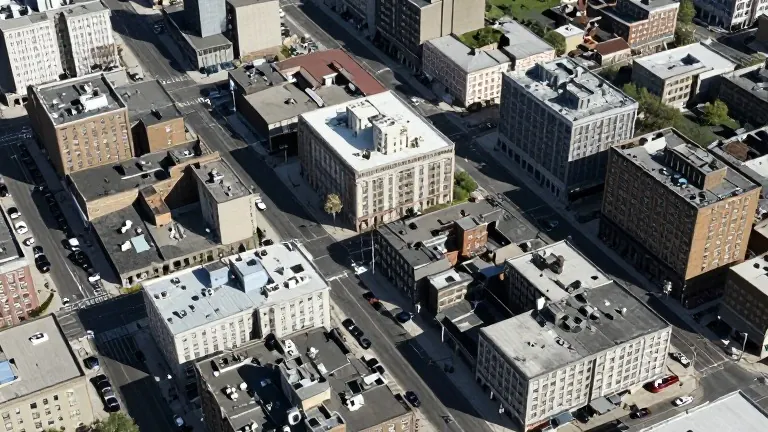
New York City residents and local professionals can now purchase specific aerial satellite images of the city through a single online platform. The service, SkyFi, allows users to order high-resolution views of any borough, neighborhood, or address. This change removes the need for large, expensive contracts that traditionally kept satellite data out of reach for individuals and small businesses.
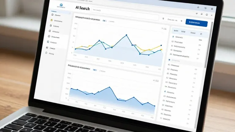
The platform utilizes an artificial intelligence tool called Rowan to process user requests. Users type plain-language prompts, such as finding recent imagery of Williamsburg or a specific address on Fifth Avenue. Rowan searches a catalog containing more than 300 geospatial imagery sources and analytics partners. The tool presents available options based on capture dates and coverage, allowing users to compare historical data or request new captures.
SkyFi offers imagery with resolutions as sharp as 30 centimeters. At this level of detail, individual vehicles and building edges are clearly visible. The price of an image depends on the area size and the resolution selected. Users pay a one-time fee for the specific image they order, with standard fees applying to any analytics purchased. The basic search tool is free to use.
Real estate agents and investors use the imagery to inspect properties remotely. Aerial views reveal details often missed in listing photos, including rooftop conditions, lot boundaries, and nearby construction. The data helps appraisers and buyers evaluate sites before visiting in person. SkyFi also offers integrations that allow users to analyze imagery through natural language commands within other applications.
Logistics firms and financial analysts monitor the Ports of New York and New Jersey using the platform. The port complex is one of the busiest freight gateways on the East Coast. Satellite data helps track container yard density, vessel queues, and terminal activity. The platform combines raw imagery with vessel detection and Maritime AIS data to create activity indicators for the region.
Urban development is another key use case. The New York Building Congress projects construction spending of $69.6 billion in 2026, rising to $75 billion by 2027. New floorspace is expected to total 66 million gross square feet over that period. Developers and city watchers use regular satellite snapshots to track megaprojects, demolition sites, and waterfront changes without sending personnel to the location.
Insurers and property managers assess climate risks using the data. Coastal flooding remains a concern in low-lying areas, as seen during a late-September nor’easter that affected Brooklyn, Queens, and Staten Island. Anke Sielker, head of the re/insurance practice at ICEYE, stated that satellite technology makes risk more visible, measurable, and actionable. The imagery helps document conditions before and after storms to understand shoreline exposure.
The ordering process begins by defining the area of interest. Users choose between existing archive images or new captures, with new captures dependent on satellite passes and weather. Cloud cover can delay a clear shot. Users select their desired resolution and check the price before committing. The image is then delivered directly through the platform.